6 Ways AI is Improving Robot Perception and Navigation
The diversity of applications for AI robotic perception improvements will extend Industry 5.0 beyond its perceived potential.
CES 2024: Exwayz unveils Exwayz 3D Mapping, the first city-scale mapping software to allow robot navigation in limitless environments
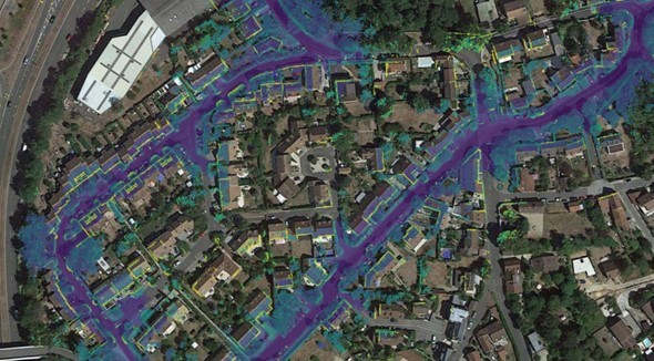
Exwayz 3D Mapping (3DM) can process the raw data of any LiDAR sensor and fuse it with Global Navigation Satellite System (GNSS) data for creating centimeter-accurate 3D maps of wide environments such as cities or industrial areas.
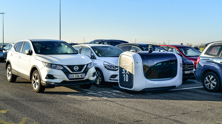
Velodyne Lidar Signs Multi-Year Agreement with Stanley Robotics
The sensors provide real-time 3D perception data for localization, mapping, object classification and object tracking. Velodyne's power-efficient sensors support Stan robots in a wide range of challenging environmental conditions.
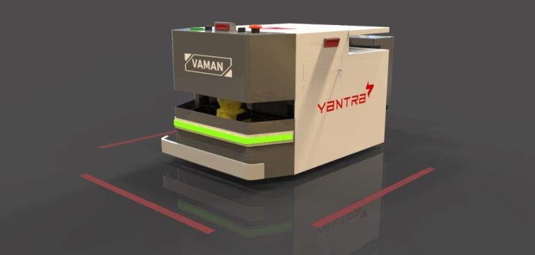
Guidance Automation helps Yantra replace Traditional Navigation with 'Natural Feature'
Yantra replaces Traditional Navigation with 'Natural Feature' Technology from Guidance Automation, Reducing Maintenance and Manpower Expenses
Better Data equals Better Navigation
To achieve navigation accuracy, sensors use algorithms that look at a series of measurements (as opposed to a single measurement) and generate output numbers that compensate for measurement errors. These algorithms are known as sensor fusion algorithms or Kalman filtering.
How To Quickly Build Your Own Reliable, Inexpensive, And Precise Autonomous System
The OpenIMU open-source development chain is a big step forward - revolutionizing the development process of navigation in autonomous vehicles.
BrainOS for Commercial Robotic Navigation
For commercial robotics-where hitting a wall or a person with an 800-pound machine would be catastrophic-being confident that the robot is safe, secure, and well supported is critical.
Q&A with Hillcrest Labs - High Value AHRS/IMUs Enable Low Cost Robot Navigation
The module allows rapid development of new robots by providing all the sensors and sensor processing software in one compact, pre-calibrated device with multiple interfaces supported to meet varying developer requirements.
Records 1 to 8 of 8
Featured Product

Elmo Motion Control - The Platinum Line, a new era in servo control
Significantly enhanced servo performance, higher EtherCAT networking precision, richer servo operation capabilities, more feedback options, and certified smart Functional Safety. Elmo's industry-leading Platinum line of servo drives provides faster and more enhanced servo performance with wider bandwidth, higher resolutions, and advanced control for better results. Platinum drives offer precise EtherCAT networking, faster cycling, high synchronization, negligible jitters, and near-zero latency. They are fully synchronized to the servo loops and feature-rich feedback support, up to three feedbacks simultaneously (with two absolute encoders working simultaneously). The Platinum Line includes one of the world's smallest Functional Safety, and FSoE-certified servo drives with unique SIL capabilities.



.jpg)

